The spatial data for the second and third 6-yearly Article 17 reports, in 2012 and 2019 are available here.
Interactive map viewer for 2019 spatial data
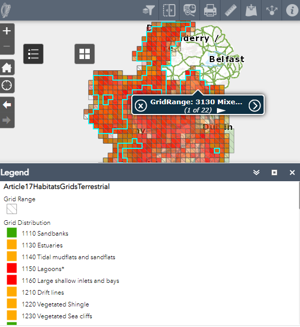
The spatial for Article 17 assessments give the known or best estimate of distribution (either 10 km or 50 km grids). The Range is drawn as an envelope around the distribution using a standardised procedure. Horizontal or vertical gaps in the habitat distribution of 3 or more grid squares or oblique gaps of 2 or more squares are deemed enough to justify a break in the Range. Where ecological conditions for the development of the habitat are deemed unsuitable, gaps of just 1 grid square may also be permitted.
The maps are derived using an Irish National Grid coordinate reference system projection for terrestrial assessments and a LAEA (Lambert Azimuthal EqualArea ETRS89) coordinate reference system projection for offshore marine assessments. All maps were transformed to the LAEA projection as part of the EU submission; transformations are not displayed as part of this report as they are not the best representation of the distribution data for Ireland.
For more information, see: