Skip to main content
Home
About NPWS
Work with the NPWS
Contact Us
Accessibility
National Parks & Wildlife Service
National Parks
Protected Sites
Nature Reserves
Publications
Licences
Maps and Data
Planning
You are here
Home
> Maps and Data
Maps and Data
Open Data policy and standards
Click for details
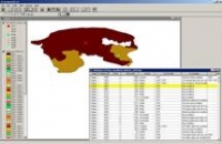
Habitat and Species datasets
Click for details
Protected Sites data
Click for details
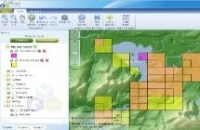
National Parks & Reserves Mapping Resources
Click for details
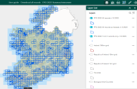
NPWS Protected Sites map-viewer
Access the map-viewer
Request data from NPWS
Click for details
FPO Map Viewer - Bryophytes
Click for details
Other relevant data sources
Click for details
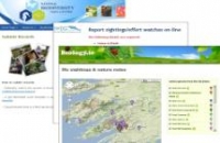
Places to submit biodiversity data
Click for details
FPO Map Viewer - Vascular Plants
Click for details
")